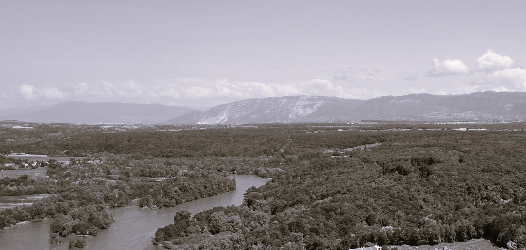
The fighting on the Upper Rhône: Vulbens
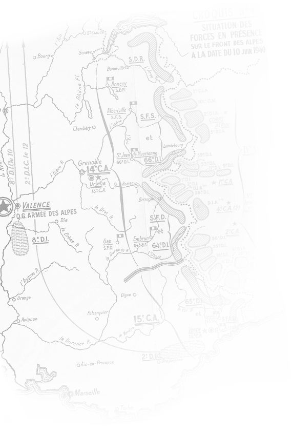
At the beginning of June 1940, the new German threat to the west forced the commanders to reinforce the defence of the Rhône, in order to prevent any passage that might threaten Annecy and Aix.
Par Col Claude Grosjean
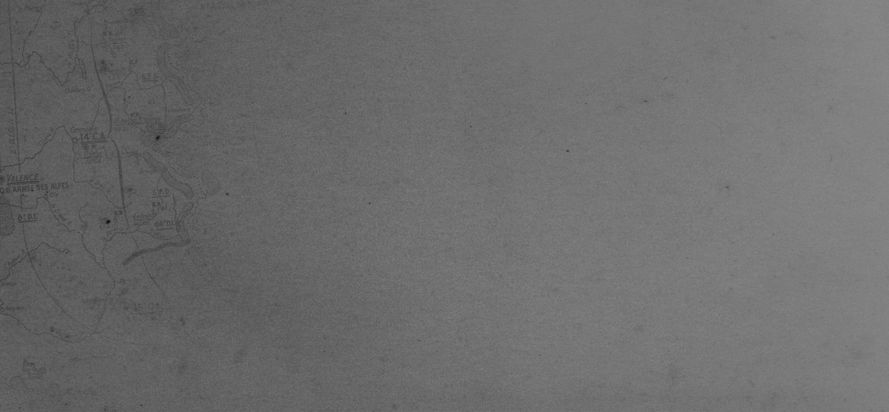
This defence stretched from the Swiss border to the Savières canal and formed the Rhône Defence Sector (SDR), divided into 2 districts: to the north, the Vuache district with 4 sub-districts (Vuache, Fort-L'Ecluse, Bellegarde and Génissiat S/Qs) and to the south, the Seyssel district with 5 sub-districts (Volland, Maitral, Seyssel, Val de Fier and Culoz S/Qs).
On 15 June, the 230th Demi-Brigade Alpine de Forteresse (DBAF), with two battalions (179th and 189th BAF), left its positions in the high valleys of the Mont Blanc massif to set up in the various defensive sub-quartiers on the left bank of the Rhône in the face of the German threat from the north-west.
On 16 June, the 4th Company of the 2nd Battalion of the 440th Position Regiment (RP), reinforced by two companies of customs officers, moved into the Vuache Sub-Quartier (S/Q), the easternmost sub-quartier of the SDR, facing the Swiss plain.
This S/Q was bordered to the west by the Fort-L'Ecluse S/Q, whose fortress was located on the right bank.
The mission of the Vuache S/Q is to :
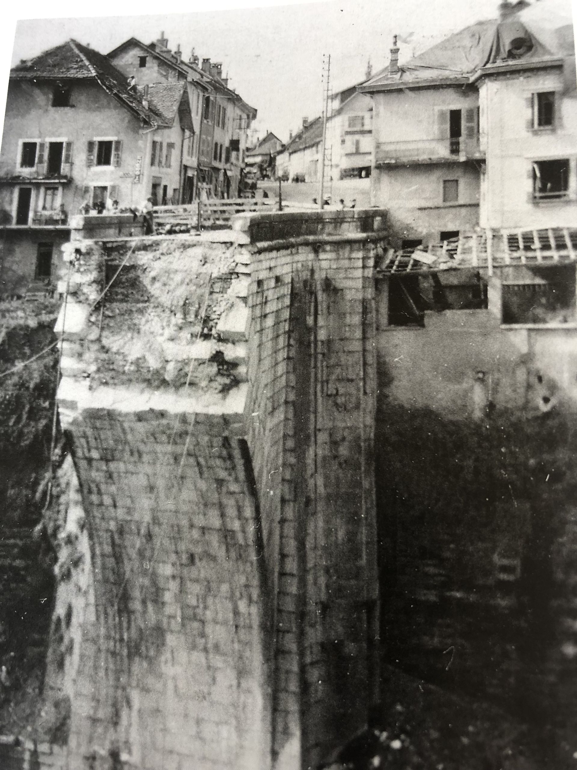
– Cover the plain between the border and the Vuache massif, in the face of a possible threat- Hold and defend the Carnot bridge, the only crossing between the right and left banks of the river- Provide flank-guarding for the neighbouring S/Q, holding the fortified passage, the tunnel and the railway viaduct.On 17 June, all the elements of the 440° Régiment de Pionniers (RP) moved to Vulbens (4°Cie HQ), Faramaz, Valleiry, the Carnot bridge and the right bank in the Pays de Gex, towards Collonges-Pougny. Links were maintained with the Fort held by the 3rd Cie of the 179th BAF via the Carnot bridge.
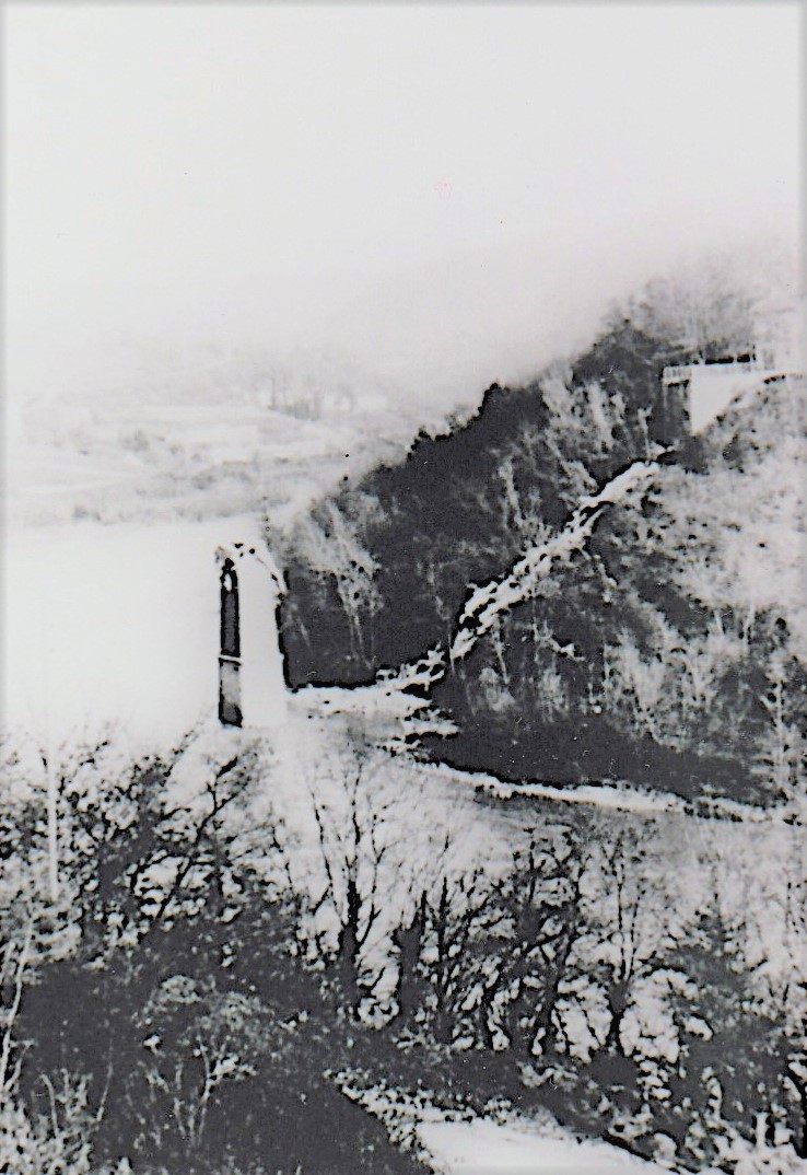
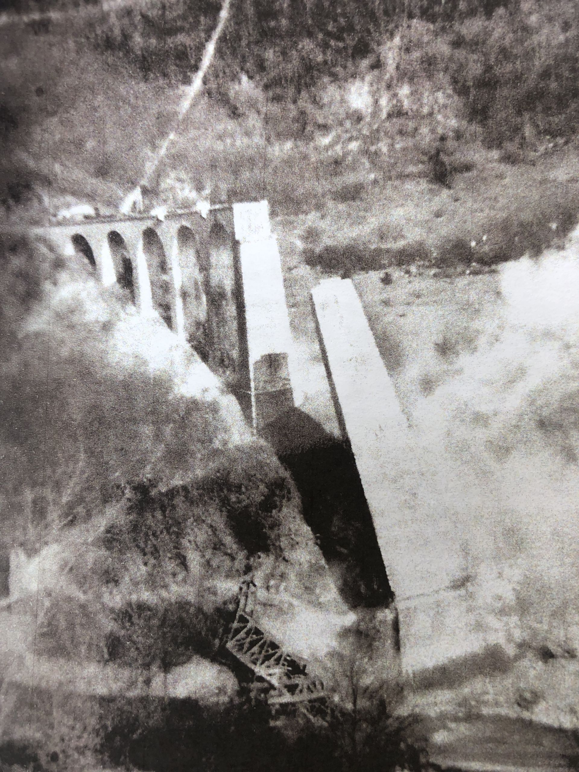
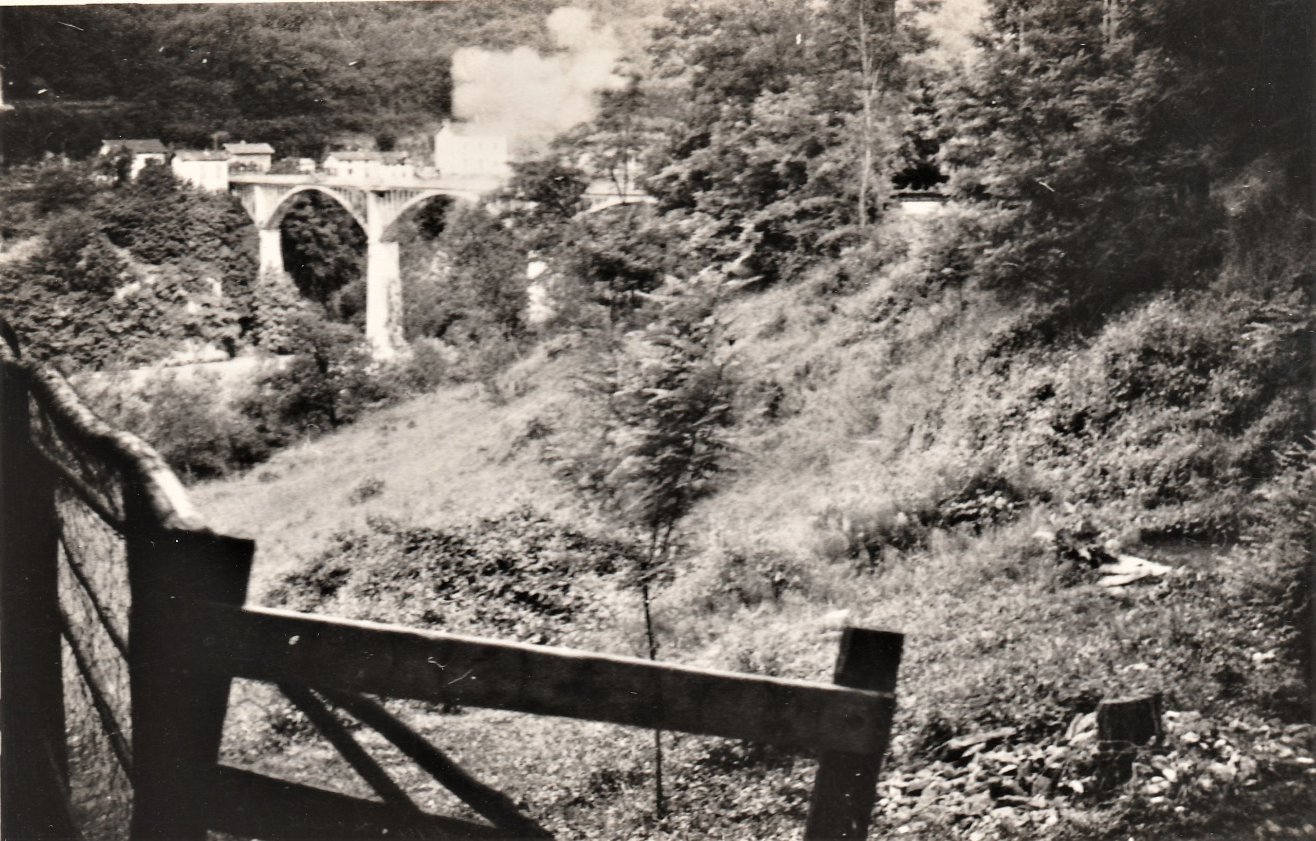
By 19 June, the crossings over the Rhône had been destroyed, with the exception of the Longeray railway viaduct.
The German advance guards of the 13th motorised division were reported from 21 June in Nantua, then in Bellegarde, which was occupied from the evening of 21 June.
On 22 June, the left bank observation post of the 179°BAF reported a strong German element climbing Mont Crédo, above the upper fort.A section of the 440th RP was detached from the Carnot bridge to intercept the enemy, but to no avail.
The general German attack began on the morning of 22 June against the left bank at Bellegarde, then towards Longeray and Fort l'Ecluse on 23 June, and the defenders of the Carnot bridge heard the sound of battle.
At the end of the day on 22 June, the 230° DBAF withdrew its 2 battalions from the left bank to reinforce the Mont Blanc sector in the face of the Italian threat.
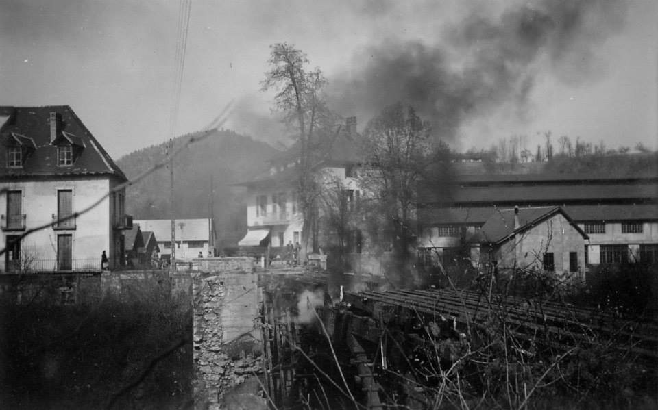
This withdrawal left the Fort completely isolated on the right bank of the river and necessitated the destruction of the Longeray railway viaduct by sappers from the 440 on the night of 23 June.
.The commander of the II Battalion took command of all the troops on the left bank and decided to re-establish the link with the Fort from the Carnot Bridge by going, at night, to the southern entrance to the tunnel, where he could explain the new situation to the Fort's commander.
On 22 June, the armistice was signed and the fighting ceased.